A couple of weeks ago, the southwest of England had a huge amount of rain in a few days, leading to widespread flooding. The Somerset Levels were particularly badly hit and some roads are still closed. While the Levels have been greatly modified by humans over the centuries and are designed to flood to protect the surrounding towns and villages, the flood defences were overwhelmed. Yesterday, I decided to venture out, having worked out which roads were still closed (and therefore unpassable for mere mortals in cars). The floods have receded (although you wouldn't think so from these photos), but are still extensive. In fact they are so extensive, it's difficult to convey the full extent in photographs.
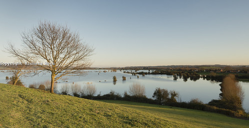
Southlake Moor Floods by Kernuak (avalonlightphotoart.co.uk), on Flickr
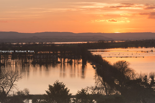
New Spillway by Kernuak (avalonlightphotoart.co.uk), on Flickr
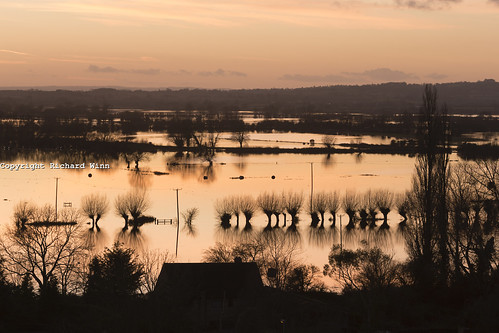
Saltmoor Flooding by Kernuak (avalonlightphotoart.co.uk), on Flickr
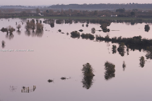
Southlake Moor at Dusk by Kernuak (avalonlightphotoart.co.uk), on Flickr
Southlake Moor Floods by Kernuak (avalonlightphotoart.co.uk), on Flickr
New Spillway by Kernuak (avalonlightphotoart.co.uk), on Flickr
Saltmoor Flooding by Kernuak (avalonlightphotoart.co.uk), on Flickr
Southlake Moor at Dusk by Kernuak (avalonlightphotoart.co.uk), on Flickr
")